Featured Tour: The River at the Heart of the City
Length: 1.5 miles
Time: 1:30-2 hours (depending on size of tour, pace of walkers, and amount of discussion!)
Degree of Difficulty: Generally flat (some ramps); surfaces include wood, grass, and pavement; several short flights of stairs.
Price: Regularly scheduled tours are FREE of charge, although tips are gratefully accepted and reservations are required. (Tickets can be obtained on the eventbrite site; see below). Private tours can be arranged; the fee is $25 per adult (ages 13+) with a minimum of $75.
Parking: There are 8-10 hour metered spaces along South Water Street and on South Main Street (a block further away from the river). The South Main Street spaces have individual meters; the South Water Street spaces are served from central machines so you’ll need to locate the machine closest to your car and leave your receipt on the dashboard.
What role do rivers play in a city; why do communities develop along rivers? For millennia, rivers around the world have been places for people to travel, congregate, engage, and establish communities.
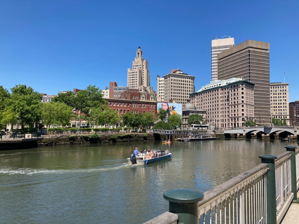
The Woonasquatucket and Moshassuck Rivers, which merge to form the Providence River, formed the heart of the original settlements in Providence. For hundreds of years, Native Americans, including the Narragansett and Pokanoket tribespeople, gathered near the confluence of the rivers for regular trading and social occasions. Plentiful seafood and game, and easy navigation from communities in present-day Southern New England, made this an attractive meeting spot. When Roger Williams and the white settlers arrived in 1636 it was an appealing location for them to build their first settlement.
The river has always been at the heart of Providence but it lost its way (literally and figuratively) in the twentieth century. Work over the past 40 years has restored the river to its rightful place.
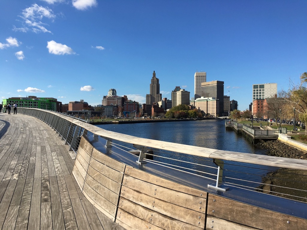
The tour begins and ends near the east side of the beautiful 2019 Van Leesten Pedestrian Bridge near the corner of James and South Water Streets, across the street from Plant City. The route will take you along the riverfront on its eastern shore (the original seventeenth and eighteenth century settlement), across the river and through the market and customs area downtown, back along the west side of the river, and across the pedestrian bridge to the starting point.
So please join us as we walk in the footsteps of the original residents of the city, and learn about the role rivers have to play in the development and prosperity of a city. We’ll look at historic buildings and compare old photographs and paintings with the current appearance of the city. We’ll learn about the city’s inhabitants over the past 500 years. And we’ll explore how and why the river almost disappeared from view, and what’s been done to bring it back.
Click on the BOOK NOW button below and you’ll be connected to the eventbrite site where you’ll have the opportunity to see available dates and reserve your spot. Or click on the CONTACT button to ask questions or to arrange a private tour.
NOTE: Scheduled tour dates for June 17-September 9 are currently posted. Additional tours for that period will be announced as they are scheduled. Fall tours will be announced later in the summer.
